Introduction
PAULOS-DLS Ltd. provides an automated traffic data collection service that significantly contributes to more efficient planning and design of road infrastructure.


PAULOS-DLS Ltd. provides an automated traffic data collection service that significantly contributes to more efficient planning and design of road infrastructure.
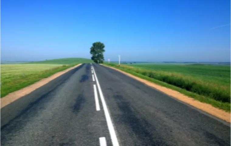
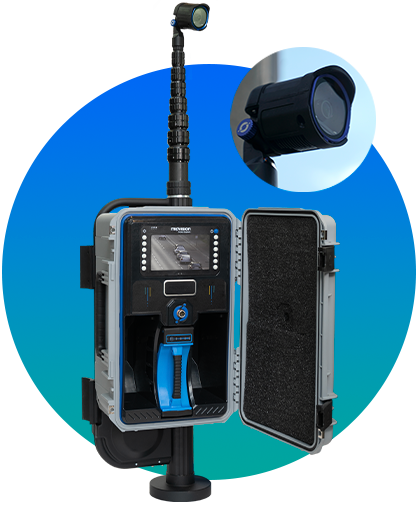
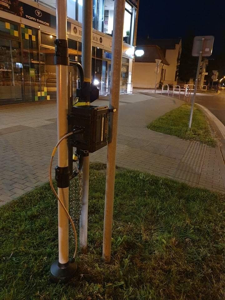
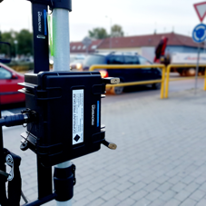
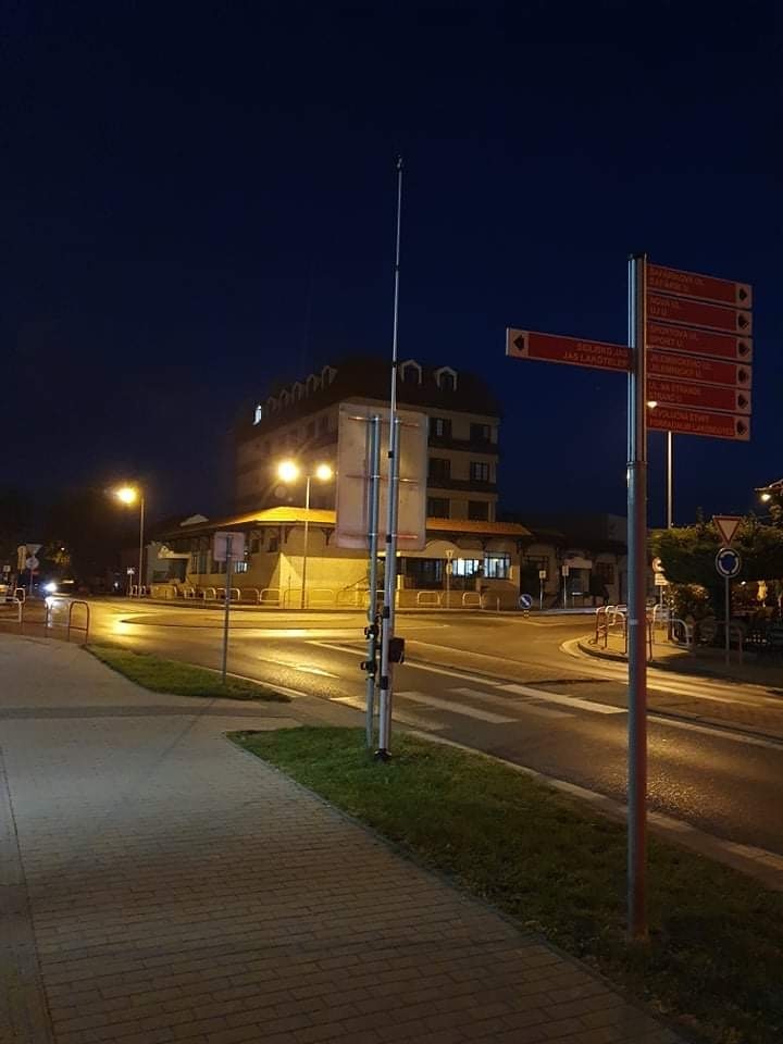
Short-term traffic surveys of intersections and road sections are carried out primarily using video detection, ensuring fast, accurate, reliable, and verifiable results.
High-resolution video recordings enable detailed analysis of traffic flow, congestion, and vehicle classification, greatly facilitating decision-making for traffic engineers, operators, and constructors.
Our procedures minimize the need for large teams and expensive equipment while delivering high-quality results at efficient costs for projects of all sizes.
Each survey is conducted with a strong emphasis on the safety of both staff and road users.


Directional intersection and cross-section survey
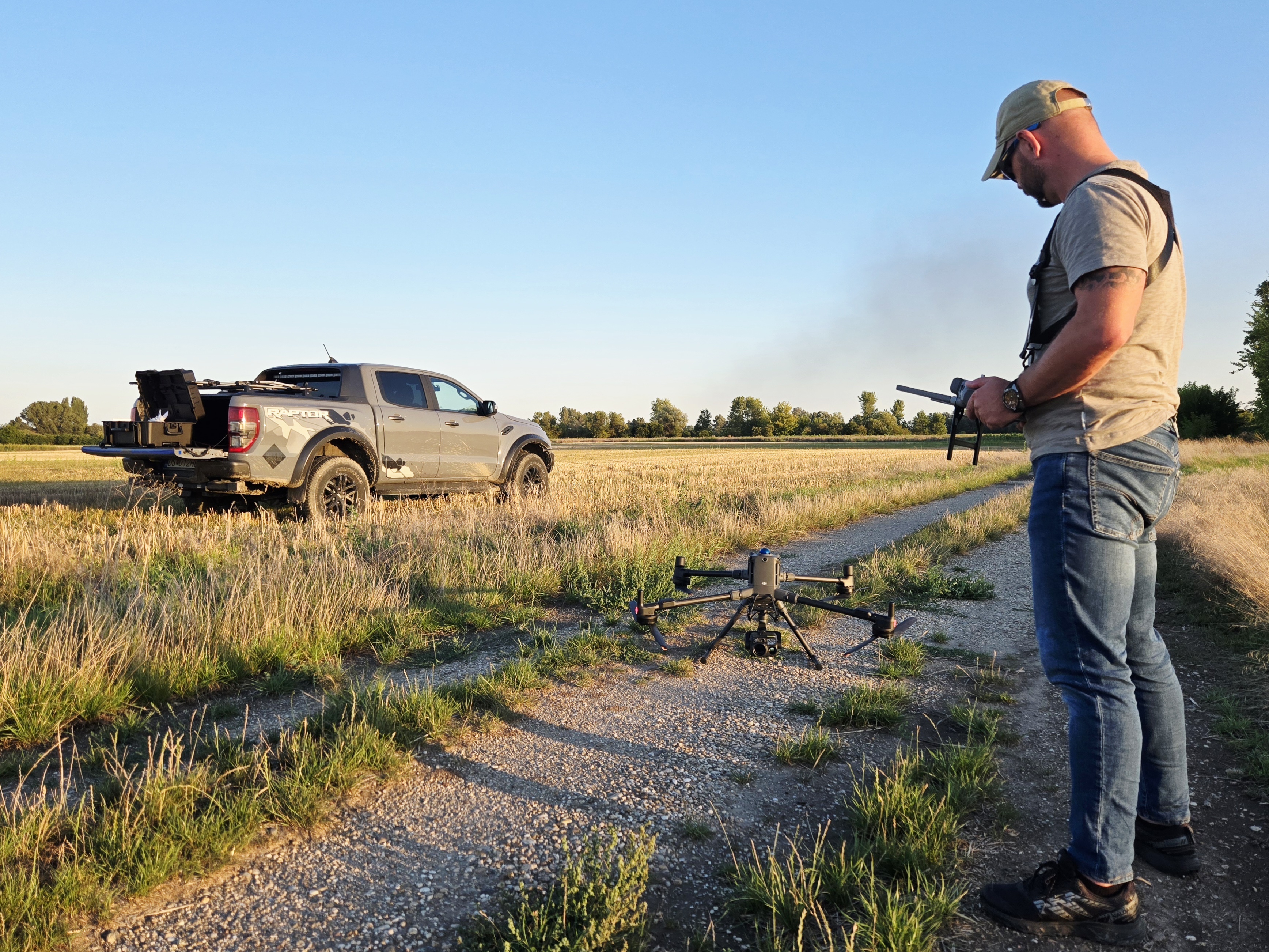
Drone (UAV) traffic survey
Other traffic surveys

Performing automated road traffic counting (ASD)

Road traffic intensity, direction and flow composition survey

Traffic survey of vehicle travel time and speed through a specified section

Short-term and long-term traffic surveys

Traffic surveys of motorized and non-motorized vehicles as well as pedestrians

With data collection and evaluation accuracy of 95%+
Since 2025, PAULOS-DLS Ltd. has been a registered UAV operator with licensed pilots for categories A1, A2, A3 and STS.
Our system consists of a DJI Matrice 400 drone, DJI Zenmuse H30T recording device, a tether system and high-performance power units, enabling continuous – up to 24-hour – traffic surveys.
This technology provides a unique combination of efficiency, accuracy, and overview, ideal for infrastructure planning, traffic management and urban development.
Drone traffic surveys use modern aerial technology to monitor traffic direction and density, vehicle movements and road conditions.
High-resolution cameras provide a detailed bird’s-eye view of key traffic nodes, intersections and main roads, enabling precise and reliable decision-making for investors and designers.
Zelená 1193/48
929 01 Dunajská Streda
IČO: 43 852 742
DIČ: 20 225 13 680
IČ DPH: SK 20 225 13 680
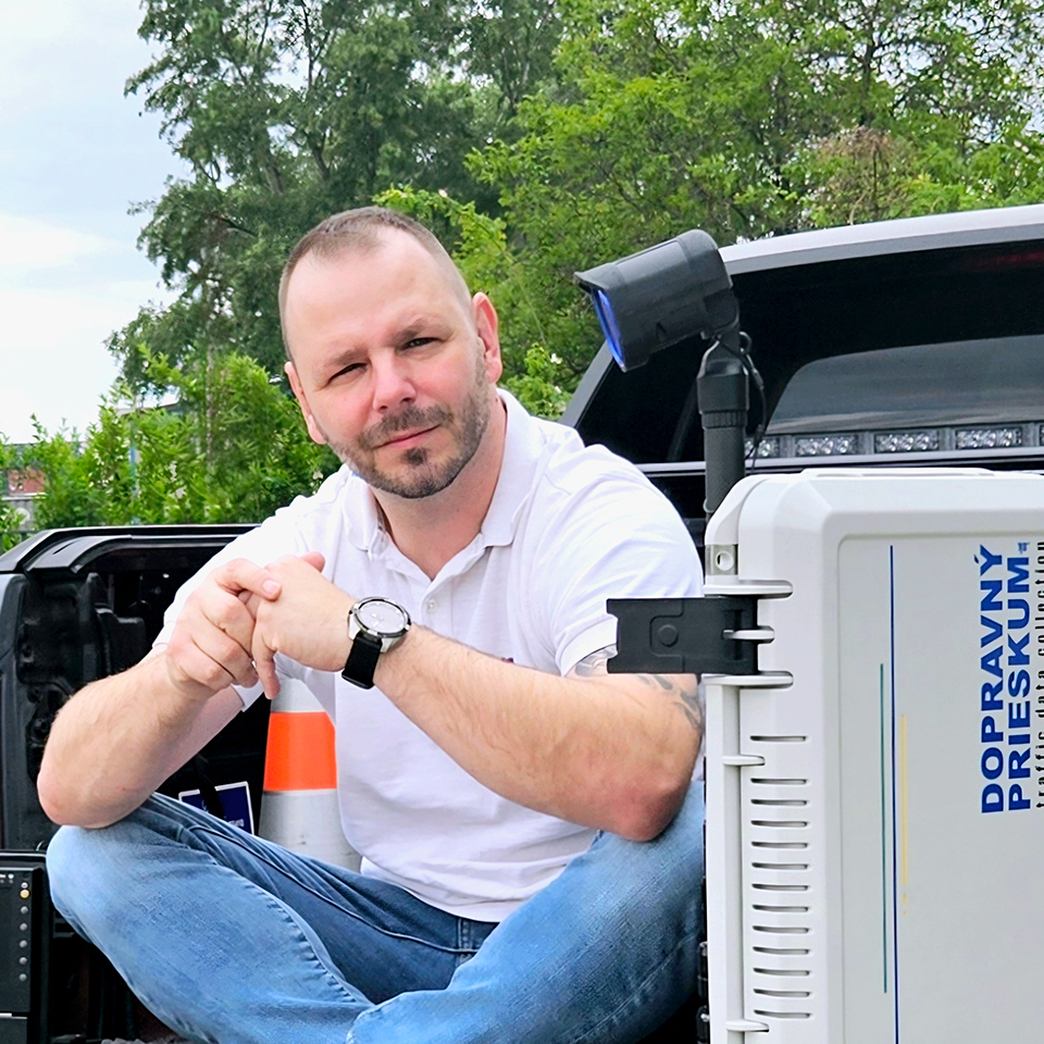
Ing. Pavol Sebök
Authorized civil engineer, Expert, UAV pilot
+421 907 300 525 paulos-dls@paulos-dls.eu